Road Closures and Diversions
Update on the known delays in the area - including extensive road repairs in South Norfolk - check to see if your route is affected
Published: 17 September 2026
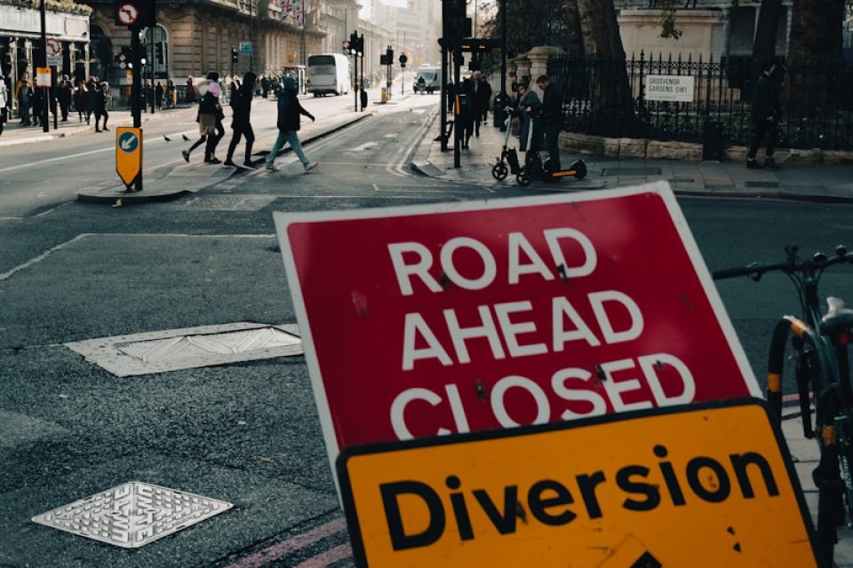
Details of road works and diversions are available at https://one.network. Any enquiries that cannot be answered on the one.network website should be directed to the South Area Streetworks (Infrastructure Department) contactable by telephone at 0344 800 8020 or email at streetworks@norfolk.gov.uk
Emergency Notice Temporary Traffic Regulation Order 2026 Section 14(2) of the Road Traffic Regulation Act 1984
Burston and Shimpling (0656-8094-7555-7260) Notice
In accordance with the provisions of Section 14(2) of the Road Traffic Regulation Act 1984, the Norfolk County Council HEREBY GIVE NOTICE that owing to an electrical fault the use by vehicles (of any class) of Gissing Road from its junction with Station Road for 510 metres northwards (the “Road”) in the Parish of Burston and Shimpling will be temporarily prohibited/restricted.
Alternative route is via: Gissing Road, Burston Road, Rectory Road, Long Row, Station Road, Ipswich Road, Dickleburgh Road, Pug Street, Burston Road, Station Road (Pulham Market, Gissing, Dickleburgh and Rushall, Tivetshall, Aslacton, Burston and Shimpling).
The works promoter for this restriction/closure is: UK Power Networks.
The closure/restriction is necessary because of the likelihood of danger to the public or serious damage to the Road or both.
The closure/restriction is anticipated to take place from 25th to 30th October 2026, but the Road may continue to be closed/restricted until the 14th November 2026 where the closure/restriction is still required beyond the anticipated dates.
This Notice shall automatically revoke on the completion of the works / when the closure/restriction is no longer necessary or otherwise on the 14th November 2026 without further notice.
If necessary, this Notice may be extended for an additional 21 days by further Notice and/or for a maximum of 18 months from the date this Notice is effective by further Order.
Any existing restrictions or prohibitions within Orders made under the RTRA 1984 will become suspended where they conflict with the provisions of this Notice during the operation of this Notice.
A person who contravenes, or who uses or permits the use of a vehicle in contravention of the restriction/ closure imposed by the Order shall be guilty of an offence.
Penalty: £1000 maximum fine on conviction and/or endorsement for contravention.
Full details on the closure are available at https://one.network. Any enquiries that cannot be answered on the one.network website should be directed to the South Area Streetworks (Infrastructure Department) contactable by telephone at 0344 800 8020 or email at streetworks@norfolk.gov.uk
Dated this 27th day of October 2026.
Katrina Hulatt Director of Legal Services (nplaw) County Hall
Martineau Lane Norwich NR1 2DH
Notice of The Norfolk County Council (Surface Dressing – South Area)
Temporary Traffic Regulation Order 2026
Section 14(1) of the Road Traffic Regulation Act 1984 (RTRA 1984)
Norfolk County Council proposes to make the South Area Temporary Traffic Regulation Order (the “Order”) (STRO14907) to facilitate installation and replacement of reflective road studs works affecting:
1.1 A140 Norwich Road from its junction with the B1527 Hempnall Roundabout to its junction with Church Road in the Town of Long Stratton and in the Parish of Tasburgh (“Road A”);
1.2 A140 Scole Bypass from its junction with the A140 Scole Roundabout/A1066 Diss Road to its junction with the A140 Scole Bypass Dickleburgh Roundabout in the Parishes of Scole, and Dickleburgh and Rushall (“Road B”);
1.3 A140 Ipswich Road from 440 metres north of its junction with Mangreen Hall Lane to its junction with the A47 roundabout in the Parishes of Dunston and Stoke Holy Cross (“Road C”);
1.4 A143 Yarmouth Road from its junction with the A143 Norwich Road, Gillingham Roundabout to its junction with Hollow Way Hill in the Parishes of Gillingham and Aldeby (“Road D”);
1.5 A143 Yarmouth Road from 200 metres north of its junction with Pound Lane to its junction with Low Road in the Parishes of Haddiscoe and Toft Monks (“Road E”);
1.6 A143 Haddiscoe Dam from its junction with the New Cut Bank Road (Station Road) to a point 50 metres east of its joining with East Haddiscoe FP1 in the Parish of Haddiscoe (“Road F”);
1.7 A146 Hellington Corner from 110 metres west of its junction with Mill Road to 130 metres east of its junction with Back Lane in the Parishes of Alpington and Rockland St. Mary with Hellington (“Road G”);
1.8 A146 Loddon Bypass from its junction with High Bungay Road to its junction with the C395 Bungay Road in the Town of Loddon (“Road H”);
1.9 A146 Loddon Bypass from the A146 George Lane Roundabout for 3120 metres north-westwards in the Town of Loddon (“Road I”);
1.10 A146 Loddon Road from its joining with Holverston FP2 to 225 metres south-east of its joining with Holverston FP2 in the Parish of Yelverton (“Road J”);
1.11 B1136 Yarmouth Road from its junction with the A146 Beccles Road Roundabout eastwards to its junction with the A143 Church Hill in the Parish of Heckingham (“Road K”);
1.12 A1066 Low Road from its junction with Pooley Street to its joining with Bressingham RB3 in the Parish of Bressingham (“Road L”);
1.13 B1077 Mile Road from its junction with the Heath Road/Long Lane crossroads to its junction with the B1134 Heath Road in the Parishes of Banham and Winfarthing (“Road M”);
1.14 B1108 Watton Road from its junction with Burdock Lane to its junction with the Landlow Lane/Bow Hill crossroads in the Parishes of Barford and Great Melton (“Road N”);
1.15 B1108 Watton Road from its junction with Woodrising Road to 860 metres northeast of its junction with Back Lane in the Parishes of Hingham and Scoulton (“Road O”);
1.16 B1134 Station Road from its joining with Tivetshall St Margaret FP11 to 290 metres east of its junction with Moulton Road in the Parishes of Aslacton and Tivetshall St Margaret (“Road P”);
1.17 B1134 Long Row from its junction with Pristow Green Lane to its junction with Plantation Road in the Parishes of Aslacton and Gissing (“Road Q”);
1.18 B1134 Heath Road from its junction with Cherry Tree Road to its junction with the B1077 Mile Road in the Parishes of Tibenham and Winfarthing (“Road R”);
1.19 B1135 Dereham Road from its junction with the B1108 Station Road to a point 360 metres south-east of its junction with Middle Road in the Parishes of Kimberley and Hardingham (“Road S”);
1.20 A1065 Swaffham Road from its junction with Ashburton Road to a point 325 metres north of its junction with Westgate Street in the Parishes of Hilborough and Ickburgh (“Road T”);
1.21 A134 Road From Thetford to Mundford from its joining with the Thetford FP5 footpath to its joining with Lynford RB2 restricted byway in the Parish of Lynford (“Road U”);
1.22 A1075 Thetford Road from 1805 metres south of its junction with Langmere Lane to a point 430 metres north of its junction with Woodcock Road in the Parishes of Brettenham and Kilverstone, and Wretham (“Road V”);
1.23 A1066 Diss Road from its junction with Harrow Lane to its junction with Church Road in the Parish of Garboldisham (“Road W”);
1.24 A1066 Thetford Road from its junction with The Street to its junction with Church Road in the Parishes of Garboldisham and Riddlesworth (“Road X”);
1.25 A1075 Thetford Road from 50 metres south of its junction with the A1075 Thetford Road roundabout to its junction with Thompson Road in the Parishes of Thompson and Griston (“Road Y”);
1.26 B1108 Watton Road from its junction with Threxton Road industrial estate to a point 1170 metres east of its junction with East Smugglers Road in the Parishes of Little Cressingham and Hilborough (“Road Z”);
1.27 B1111 Road From Larling to Watton from its junction with Hockham Road to its junction with Harling Road in the parishes of Shropham and Great Hockham (“Road AA”);
1.28 B1111 Road From Larling to Bridgham from 445 metres south of its joining with the Roudham FP12 footpath to its junction with West Harling Road in the Parishes of Roudham and Harling (“Road BB”);
1.29 B1111 Harling Road from its junction with Harling Road to its junction with West Harling Road in the Parish of Garboldisham (“Road CC”);
1.30 A1075 Dereham Road from its junction with The Street to its junction with Church Road in the Parish of Ovington (“Road DD”);
1.31 B1110 Holt Road from its junction with Norwich Road to its junction with Wood Norton Road in the Parish of Guist (“Road EE”);
1.32 B1135 Yaxham Road from its junction with Westfield Lane to its junction with Whinburgh Road in the Town of Dereham (“Road FF”);
1.33 B1145 Billingford Road from its junction with Eastgate Street to its joining with the Billingford FP4 footpath in the Parish of North Elmham (“Road GG”);
1.34 B1145 Mileham Road from its junction with the B1145 Church Street to its joining with the Litcham FP1 footpath in the Parish of Litcham (“Road HH”);
1.35 B1146 Main Dereham Road from its junction with School Road to its junction with Fakenham Road in the Parish of Colkirk (“Road II”); and
1.36 Silver Street from its junction with Norwich Road to a point 45 metres south of its junction with the C572/928 Silver Street in the Parish of Besthorpe (“Road JJ”)
The Roads A–JJ will be temporarily closed/restricted (except for pedestrian access), temporarily prohibited to park, stop, load, and/or unload as indicated by the display of on-site signs and subject to the imposition of a temporary variable speed limit as indicated by the display of on-site signs for the duration of the works/period the closure is necessary, but may continue to be closed/restricted until the 24th December 2026 where the closure/restriction are still required beyond the anticipated dates.
Alternative routes will be displayed on site.
The works promoter for this restriction/closure is: Norfolk County Council
Vehicular access will be permitted to a final destination in the Roads A–JJ where signs indicating such access is possible and permitted are in place.
The Order shall automatically revoke on the completion of the works/when the closures are no longer necessary or otherwise on the 24th December 2026 without further notice.
If necessary, the restrictions could run for a maximum period of 18 months from the date the Order is effective.
A person who contravenes, or who uses or permits the use of a vehicle in contravention of the restriction/closures imposed by the Order shall be guilty of an offence.
Penalty: £1000 maximum fine on conviction and/or endorsement for contravention.
In the event of the start dates being delayed the new start date will be displayed on site in advance.
Full details on the closures are available on the CausewayOne website at https://one.network. Any enquiries that cannot be answered on the one.network website should be directed to the South Area Streetworks (Infrastructure Department) contactable by telephone at 0344 800 8020 or email at streetworks@norfolk.gov.uk
Dated this 18th day of September 2026
Katrina Hulatt
Director of Legal Services (nplaw)
County Hall
Martineau Lane
Norwich
NR1 2DH